
Jenks Neighbors: Block Sources
Jenks public records answer different block questions. INCOG shows the geometry of adjoining Jenks parcels. The Assessor identifies assessed owners and the situs or mailing fields attached to each Jenks parcel. Clerk land records establish recorded transfers, while City of Jenks planning materials can identify a Jenks subdivision, developer, plat, or association name. Those Jenks sources identify public records, not every person who may be present at a property.
| Source | What it shows about a block | Access |
|---|---|---|
| INCOG parcel map | Adjoining parcel geometry, IDs, boundaries, and map layers | Free public map and service |
| Tulsa County Assessor | Assessed owner, mailing and situs addresses, legal description, values, and exemptions | Free web search, counter, or data request |
| County Clerk land records | Plats, lot and block, prior owners, liens, and transfer instruments | Acclaim, counter, and historical products |
| Jenks planning agendas | Development applicants, association names, street and legal-description references | Free searchable agenda archive |
| Association public pages | Community contact, covenants, meetings, or dues information | Public route, with member areas private |
An owner of a Jenks parcel is not automatically a Jenks occupant. A mailing address can belong to an owner elsewhere, an agent, or a business. Jenks renters and other household members may not appear in parcel records at all.
The Jenks source order matters. Map geometry for Jenks answers which parcels touch. The Assessor answers what public assessment data is attached to each Jenks parcel. The Clerk answers what was recorded, and a Jenks planning packet may explain how a subdivision or association was named. Keeping those source roles separate stops a nearby address, an owner mailing line, or a development name from being mistaken for proof about a household.
Jenks Neighbors: Parcels Next Door
INCOG’s Tulsa County parcel service is the map entry point for immediate Jenks neighbors. Zoom to the target Jenks address, select its parcel geometry, and write down the Jenks parcel ID and legal description. Then click the contiguous polygons on the Jenks map that share a boundary. The service supports parcel queries and maps geographic layers, including Jenks corporate limits, zoning, floodplain, school districts, precincts, and ZIP Code Tabulation Areas.
The INCOG Tulsa County parcel service supplies that geographic starting point. 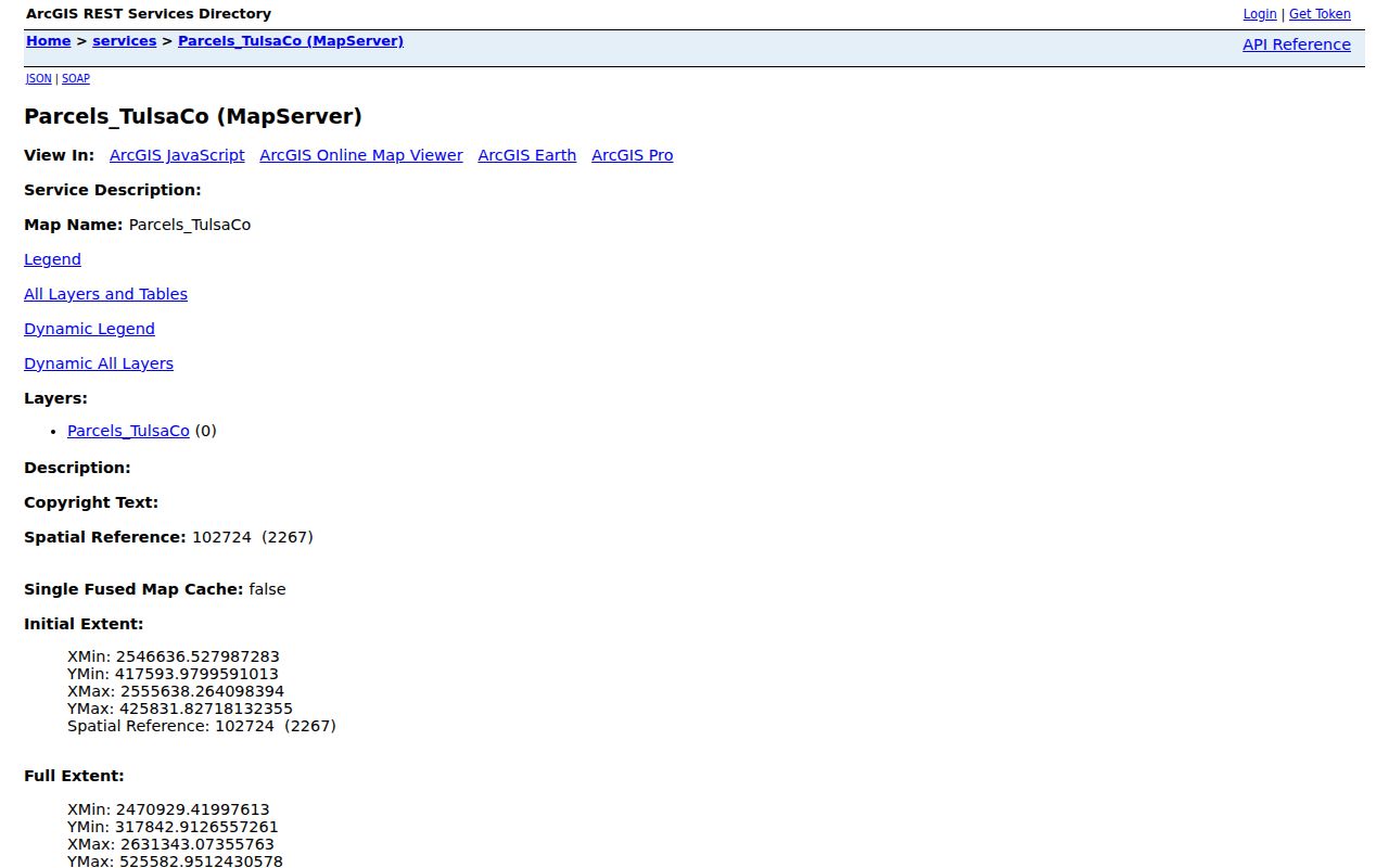 INCOG says its parcel layer is based on Assessor data, updated in its metadata, and illustrative rather than a replacement for an official Assessor record.
The client-side controls for a precise radius or buffer were not confirmed in the research. Use a careful parcel-by-parcel method instead of assuming a map tool returns a formal block list.
MYTH: A Jenks mailing address or ZIP always places a parcel inside the City of Jenks. Postal geography and corporate limits are different. Use the INCOG corporate-limits layer with the Assessor situs field when city jurisdiction matters. Nearby Jenks Public Schools sites also use Tulsa ZIPs, which is another reminder that school-area and postal labels do not settle municipal location.
Map a Jenks Neighbor Block
The Jenks adjacent-parcel method keeps a search tied to a physical block. It works outward from one Jenks parcel rather than guessing from a shared street name. For each Jenks parcel, compare the map geometry to the Assessor card. The card’s legal description then connects to a recorded Jenks plat or deed when the research calls for a documented ownership trail.
- Locate the known Jenks address in INCOG and note the target parcel ID and legal description.
- Select each contiguous Jenks parcel around the target, using a compass ring or one street segment so the boundary is clear.
- Open each Jenks parcel in the Assessor search and record the assessed owner, situs, mailing field, and legal description.
- Use the County Clerk only when a Jenks plat, recorded transfer, lien, or subdivision question needs confirmation.
- Compare Jenks zoning, floodplain, school, precinct, and corporate-limits layers without treating them as person records.
For a complete named-street record chain rather than immediate Jenks neighbors, use the Jenks street directory. The two workflows answer different questions.
For a new Jenks subdivision, plats turn the street address into lot and block data. Jenks planning packets can supply the development name, reserves, and association references, then the recorded plat confirms the legal link. Unplatted Jenks land may instead use section, township, range, or metes-and-bounds language. Do not assume two similar Jenks street labels are the same parcel until the legal description agrees.
Jenks Neighbor Association Contacts
Jenks association pages are useful for locating the proper public contact or a covenant document. They are not public membership rolls. Yorktown, a Jenks association, identifies nine component neighborhoods: Henley, Plymouth, Birmingham, Carlisle, Manchester, Shelby, Cambridge, Covington, and Remington. Its public route asks Jenks residents to register for documents and emails, and its social-group route asks for an address before membership is considered.
| Association or contact | Public evidence | Lawful contact route |
|---|---|---|
| Yorktown HOA | Nine named neighborhoods and resident document instructions | Register for emails and documents; no public member roster. |
| Southern Reserve HOA | Jenks PO Box, dues notice, and management/payment information | Use the listed public management route; no member roster. |
| Jenks Landing Property Owners’ Association | Association appears in city planning documents | Follow the recorded planning or covenant reference. |
| Pine Ridge HOA | Association covenant references in planning and deed material | Use recorded documents or the appropriate public contact. |
| Green Country HOA Management | Public form asks for address and neighborhood or HOA | PO Box 1044, Jenks; 918-901-9311; greencountryhoa@gmail.com, Monday-Friday 9-5. |
The Yorktown new-residents information illustrates the distinction. 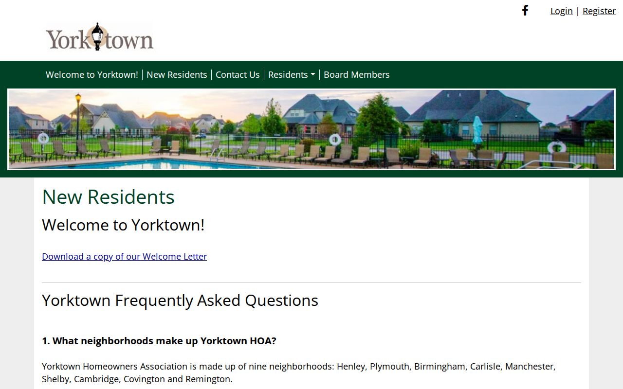 Contact routes, documents, covenants, dues, and meetings may be public while resident names and member areas stay private.
Southern Reserve’s Jenks public materials provide management and payment contacts. Green Country’s public form asks the sender to identify a Jenks address and neighborhood or HOA, which is an appropriate way to reach the right community contact. Jenks Landing and Pine Ridge appear through Jenks planning or recorded covenant material rather than an open resident directory. Use the association’s disclosed Jenks contact channel, and do not seek to reproduce private lists.
Jenks Neighbor Planning Records
Newer Jenks subdivision records often reveal the community name before they reveal a useful parcel trail. Jenks Planning Commission agendas and packets can include developers, surveyors, PUD names, street frontage, reserves, association covenants, plats, and legal descriptions. Save the Jenks meeting date and the recorded plat or deed reference, then follow that reference in County Clerk land records.
The Jenks Agenda Center supports date, phrase, and category searching and places older material in the Document Center. 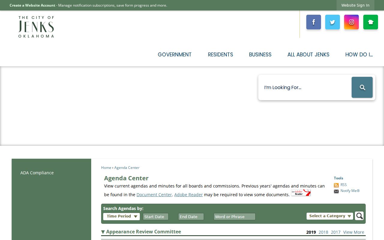 Planning records can explain a subdivision’s layout and association identity without exposing a private community list.
Note: Capture the packet date and recorded reference because a development name can change while the legal description persists.
Jenks Building Inspections is another address-keyed companion for construction and inspection chronology. Its public route includes permitting, inspections, and contractor registration, while older files may require a focused request to the appropriate city custodian. A permit may date work at a property, but it does not prove who lived there. Keep it as construction context beside the parcel and deed trail.
Jenks Neighbors and Voter Data
The Oklahoma Voter Portal is not a street roster. It requires a registered voter’s first name, last name, and date of birth for individual self-verification. The portal can confirm registration-related information for the person using it, but it should not be used to infer a block’s political views or ballot choices. Ballot choices are not public voter-history fields.
Qualified requesters may use the Election Data Warehouse under the state’s rules and its requester attestations. The data is refreshed on weeknights, but protected addresses are omitted. Restricted Records participants and Address Confidentiality Program participants are removed from ordinary public voter data. For block context, use precinct and district maps, not a claimed household list.
The Tulsa County Election Board can answer county election questions at 918-596-5780 or TulsaCounty@elections.ok.gov during its listed weekday business hours. It is the proper fallback for physical application, historical precinct, protected-status, and request questions that are not resolved by the individual portal. A missing public address is not evidence that a person is not registered.
Jenks Neighbors: Official and Commercial Tools
Commercial neighbor-lookup categories combine property, marketing, and public data. They can be stale, merge similar names, or attach an old address to the wrong person. The official method has narrower results, but each result has a known custodian and can be checked. Start with geography, then move to the official record that answers the next question.
| Approach | Typical strength | Key limit |
|---|---|---|
| Official parcel, Assessor, and Clerk records | Recorded or assessed parcel facts with a custodian | Does not show every occupant and needs document-by-document verification. |
| City planning and association contact routes | Subdivision, covenant, or public community-contact context | Member lists and private areas are not public. |
| Commercial neighbor tools | Broad summaries from mixed sources | May be stale, incomplete, or misassigned and should not replace a custodian record. |
For historic block context, Tulsa City-County Library’s reverse directories are available from 1912 because streets are alphabetical, and telephone directories from 1931 forward reach a wider area. Those sources may identify a dated address-to-occupant lead. They still need to be paired with a parcel and census or deed evidence before a historic neighbor relationship is treated as established.
Privacy Limits for Jenks Neighbors
Public block research has firm limits. Parcel records may omit renters and other household members. Utility and delivery-customer lists, motor-vehicle address data, sealed court files, restricted vital records, and protected voter addresses are not ordinary public block sources. A missing result does not prove that a person is absent or that a record is wrong.
Lawful use. Jenks neighbors research is for legitimate personal, civic, and community understanding. Never use parcel, association, or public-record information to watch, harass, intimidate, or harm anyone.