
Jenks ZIP Code Coverage
The primary documented postal ZIP for Jenks is 74037. It identifies the Jenks delivery area, not a surveyed city boundary. Nearby Tulsa postal areas also matter when a search concerns the broader Jenks school area, a nearby parcel, or an older mailing label. The table keeps those categories separate. It does not claim that every address in a listed ZIP lies within Jenks city limits.
| ZIP | Areas covered | Post office | Notes |
|---|---|---|---|
| 74037 | Official postal city Jenks, city core and Jenks delivery area | Jenks Post Office, 303 E A St., Jenks, OK 74037 | Primary documented Jenks ZIP; confirm exact delivery coverage by address. |
| 74132 | Tulsa postal area with Jenks Public Schools-area examples | Tulsa-area station, not specifically located | Not an official Jenks postal city. |
| 74137 | Tulsa postal area with Jenks Public Schools-area examples | Tulsa-area station, not specifically located | Shows the school-area and ZIP mismatch. |
| 74133 | Tulsa postal area near Jenks | Tulsa-area station, not specifically located | Do not treat as a Jenks ZIP without address-level verification. |
Use the USPS ZIP Code Lookup for the delivery result at a specific address. The Jenks ZIP code directory is a starting index, while USPS confirms the address and the County Assessor confirms a parcel’s situs.
Jenks 74037 Postal Anchor
Postal geography is one layer of a Jenks record search. A parcel can have a Jenks delivery label while its jurisdiction, school district, or historical directory heading uses a different label. The Arkansas River, older railroad-era settlement, and later suburban development all help explain why local records may not use one consistent place name across time. Keep the postal city, the city jurisdiction, and the parcel’s legal description in separate notes.
The INCOG mapping resources include corporate-limits, school-district, floodplain, and ZIP Code Tabulation Area layers. 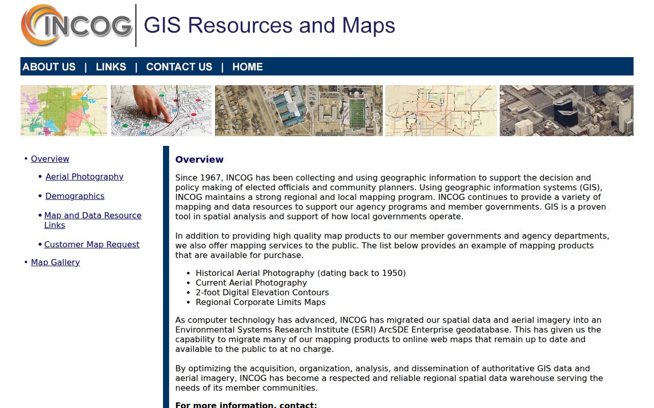 Those layers help compare a postal label with a mapped geography, but INCOG describes its parcel data as illustrative rather than a replacement for the official parcel record.
ZIP Code Tabulation Areas are Census-style geographic areas used for mapping, while a carrier’s delivery ZIP is a postal assignment. They can look similar on a map without answering the same question. When an old family address carries a Tulsa label and a current parcel is associated with Jenks, save both labels and work from the property’s legal description before deciding the records concern different places.
Note: A ZIP result identifies postal service and should be checked against the situs address before a Jenks jurisdiction is assumed.
Jenks ZIP Code Search Fields
The Tulsa County Assessor serves Jenks but does not publish a dedicated ZIP box. Its unified search accepts an address, account, subdivision, or owner, so Jenks ZIP work begins with a verified address or a parcel found through map context. Search with less punctuation, then filter result columns. The assessor card separates the situs address from the owner mailing address, a distinction that matters when the postal label and the Jenks property location differ.
| Assessor field | Type | How it applies |
|---|---|---|
| All | Search mode | Unified mode shown, with no separate address or owner tab. |
| Search for an address, account, subdivision, or owner | Text | Use a verified street address, a quoted subdivision, owner-name text, or an R-format account. |
| Load from Template | Button | Reuses a saved query or template when available. |
| Clear / Search | Buttons | Clears input or runs the search, then result columns may be filtered. |
The free Tulsa County Assessor Property Search is useful after a ZIP has narrowed the area. It is an assessment record, not proof of title or proof that an owner lives at the parcel.
For Jenks ZIP research, search formatting matters. Assessor examples use directional abbreviations such as S 77 AV E. Punctuation can reduce a result set, owner names may appear in last-name order, and multiple owners can be joined with an ampersand. Try a shorter, punctuation-free Jenks street form first, then use the returned parcel data rather than trying to force a ZIP-only query that the public interface does not provide.
Find Residents Within a Jenks ZIP
A ZIP code is best used to narrow an address trail, not to produce a complete resident roster. USPS verifies delivery. INCOG places the address among parcels and geography layers. The Assessor identifies parcel details. Oklahoma’s voter portal is not a ZIP browser because it requires a person’s first name, last name, and date of birth; the fuller Election Data Warehouse has requester qualifications and protected-address restrictions.
- Confirm the Jenks-area delivery ZIP with USPS using the complete address.
- Check the Jenks address in INCOG for corporate limits and nearby parcel context.
- Open the Jenks Assessor record and save the situs address, parcel ID, and legal description.
- Use the Jenks legal description or parcel details in County Clerk land-record research when ownership history is needed.
- Use the Jenks voter portal route only for intended individual self-verification, not as an anonymous ZIP list.
Once an address is confirmed, the Jenks street directory gives the fuller address-keyed trail. That workflow handles a named street without treating ZIP geography as a substitute for parcel evidence.
When a Jenks ZIP search is thin, the fallback is still local and specific. The County Assessor can be reached at 918-596-5100 for Jenks property questions. Recorded Jenks ownership belongs with the Tulsa County Clerk, whose land-record office is separate from the Assessor. For older Jenks city-directory context, Tulsa City-County Library has print, microfilm, digital, and in-library database routes. A focused request should name the Jenks property and the record sought, not ask for a general list of residents.
Jenks ZIP Code and City Lines
ZIP boundaries do not follow municipal lines. A Jenks mailing city can reach beyond the city, and a physical location connected with Jenks can carry a Tulsa postal label. INCOG corporate-limits layers, the Assessor situs field, the postal ZIP, and school geography each answer different questions. A county record may also use a subdivision or legal description rather than the postal city printed on an envelope.
- ZIP and ZIP+4
- The five-digit ZIP identifies a postal delivery area. ZIP+4 adds a more specific delivery segment, often for a side of a street or a group of addresses.
- PO-box ZIP
- A ZIP assigned for post-office boxes. Research did not confirm a separate PO-box-only ZIP for Jenks, so do not infer one.
- Unique ZIP
- A ZIP assigned to one organization or institution. Research did not confirm one serving Jenks.
- Carrier route
- A postal delivery sequence used to organize mail. It is not a city boundary or a record of every person at an address.
Note: A legal description and parcel ID remain steadier research keys than a ZIP when street labels or municipal boundaries change.
The formal street numbering and renumbering history for Jenks was not confirmed in the available official material. Do not invent a conversion year when an older number does not match a present address. Instead, compare subdivision plats, lot and block references, corporate-limits layers, and directories from nearby years. That method preserves the uncertainty rather than attaching a historical household to the wrong parcel.
Jenks School ZIP Mismatch
MYTH: A school connection or a mailing city proves that an address is inside Jenks. Jenks Public Schools transparency materials list Jenks East and West sites in 74037, while Southeast Elementary and Jenks East Intermediate use Tulsa 74137 addresses and Northwest Elementary uses a Tulsa 74132 address. Those examples show why school area, postal ZIP, and municipal jurisdiction should not be collapsed into one category.
For a family-history search, preserve the label as it appears in each source. A directory may use Tulsa, a parcel card may use the situs address, and a school reference may use a Jenks-area name. Comparing each to an INCOG corporate-limits layer prevents a false conclusion that a record refers to the same jurisdiction.
Jenks Parcel Keys Beyond ZIP
Three Jenks parcel fields serve different purposes. The situs address is the physical Jenks parcel location. The owner mailing address is where tax correspondence goes and may be a different city, business, or agent. The legal description identifies the lot, block, subdivision, or section-based Jenks land description used across Clerk and GIS records. The last two fields should never be read as a current-household list.
The Assessor card may show parcel ID, legal description, values, exemptions, improvements, and sales or document references. For a transfer, follow the legal description to the Tulsa County Clerk Acclaim land-record service. Online name work is reported from 1928 and legal-description searching from 1987, while older paths include book and page work, historical products, Digital Reel material, and public-access computers.
Jenks ZIP Code Labels in History
ZIP codes are modern mailing tools, so they do not solve older address questions by themselves. For historical work, search both the old postal-city label and present Jenks or Tulsa wording, then compare the street, subdivision, lot and block. Tulsa City-County Library reports reverse street searching in directories beginning in 1912 because streets are alphabetical, and its telephone directories cover a wider area from 1931 forward.
The Tulsa City Directories digital collection gives remote access to selected volumes. A dated entry can reveal an address label that later differs from a present delivery ZIP. Pair that entry with a census household and parcel record before deciding that two similar labels point to the same place.
For Jenks historical postal research, save the Jenks address spelling, the Jenks postal label, and the Jenks parcel description together. That short Jenks record trail makes it easier to compare a directory entry with a later map or recorded transfer.